Skip to content
Telford & Wrekin
Co-operative Council
Protect, care and invest
to create a better borough
Sign-In / Register
Council services
  • About my council
  • Adult social care (ASC)
  • Benefits
  • Bins and recycling
  • Births, marriages and deaths
  • Business
  • Children and young people
  • Commissioning for vulnerable people
  • Community
  • Council tax
  • Domestic abuse
  • Environment
  • Health protection
  • Healthy telford
  • Housing - homeowners, tenants and landlords (better homes for all)
  • Libraries
  • Markets
  • Planning and building control
  • Public protection
  • Roadworks, transport and streets
  • Schools and learning
  • Sports and leisure
  • Telford online
  • Volunteering in Telford and Wrekin
  • Website
  • Your views matter

Home

Environment

Land stability, flooding and drainage

Jackfield stabilisation project aerial photographs

Jackfield stabilisation project aerial photographs

  • Aerial Photograph January 2014 Area 3 Downstreama (jpg)

    Size : 325.44 kb

  • Aerial Photograph January 2014 Area 9 Upstreama (jpg)

    Size : 688.53 kb

  • Aerial Photograph March 2014 Area 3 Downstreama (jpg)

    Size : 422.85 kb

  • Aerial Photograph March 2014 Area 9 Upstreama (jpg)

    Size : 658.25 kb

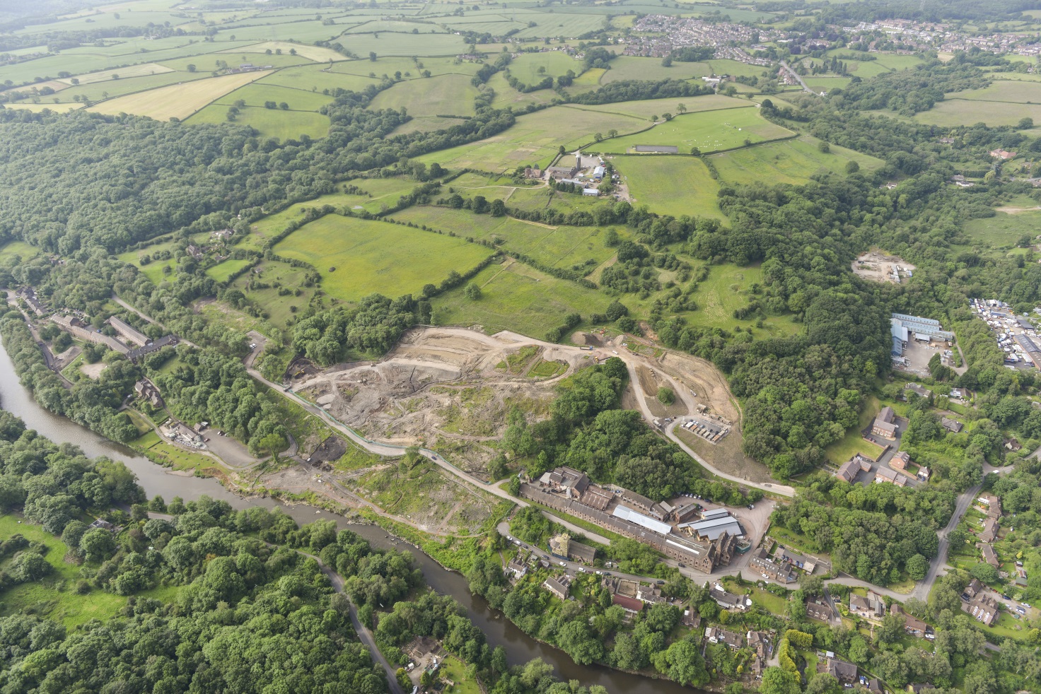
  • Aerial Photograph June 2014 Area 3 Downstreama (jpg)

    Size : 741.85 kb

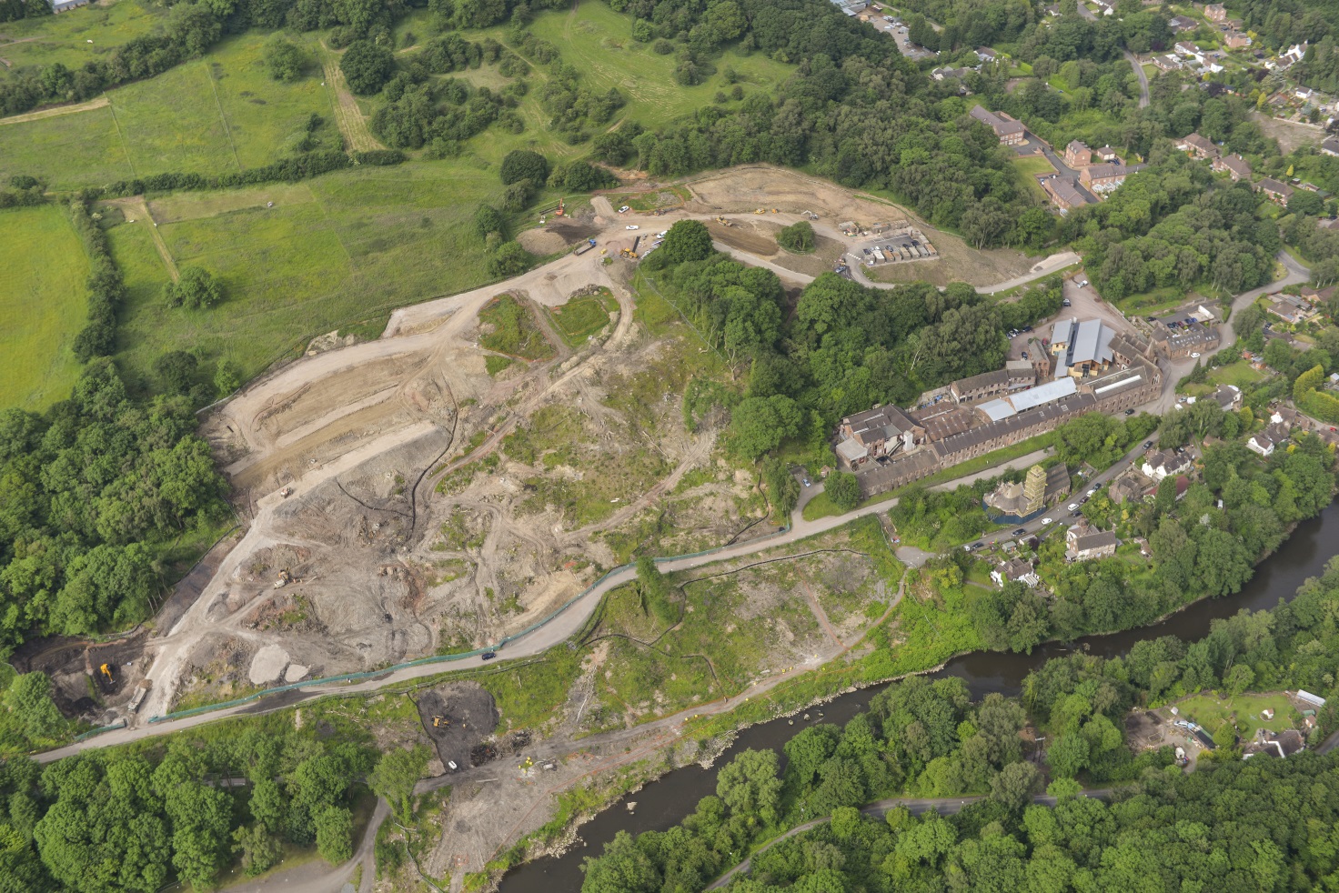
  • Aerial Photograph June 2014 Area 9 Upstreama (jpg)

    Size : 719.07 kb

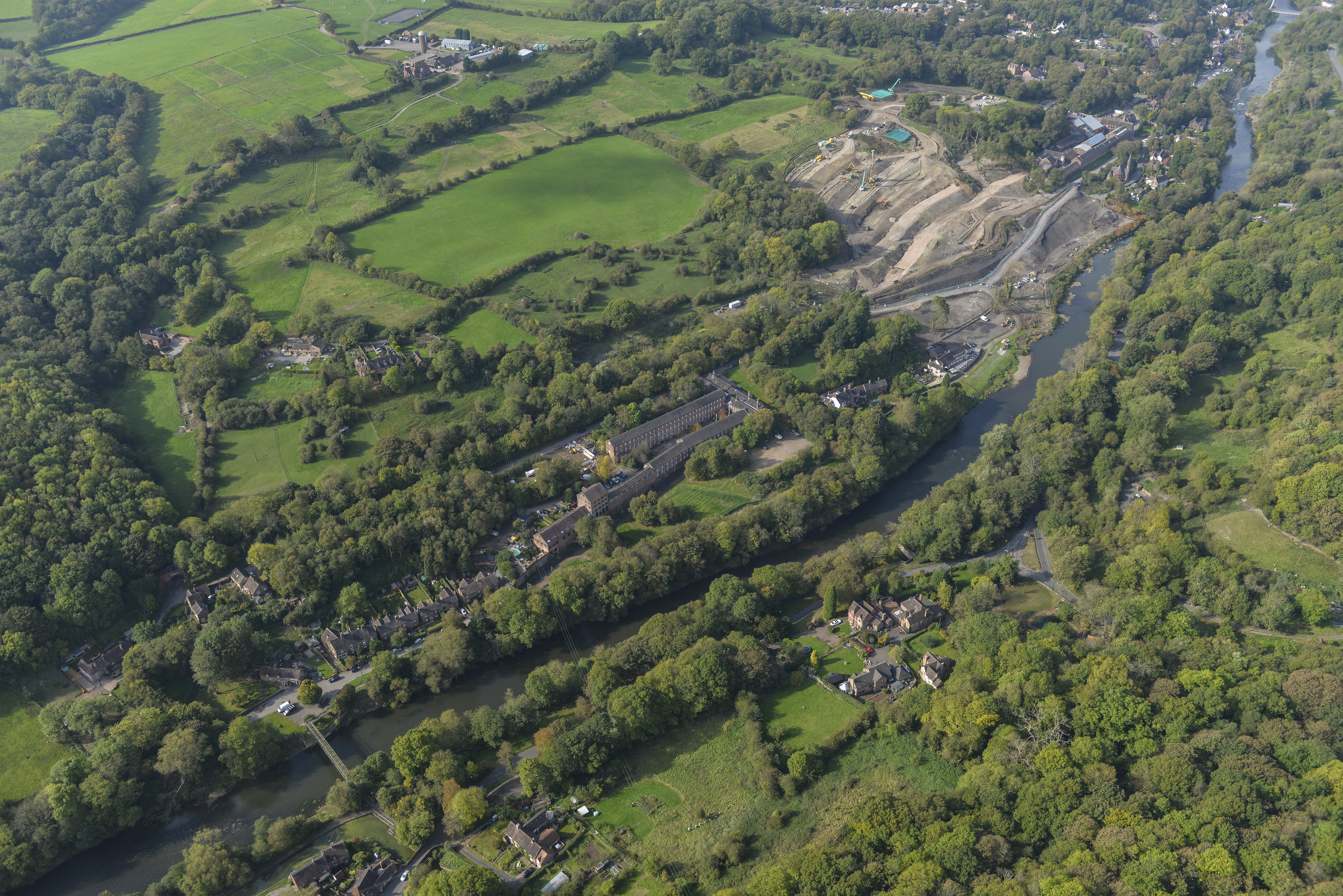
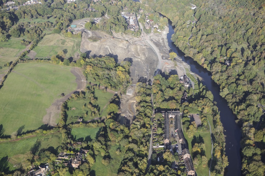
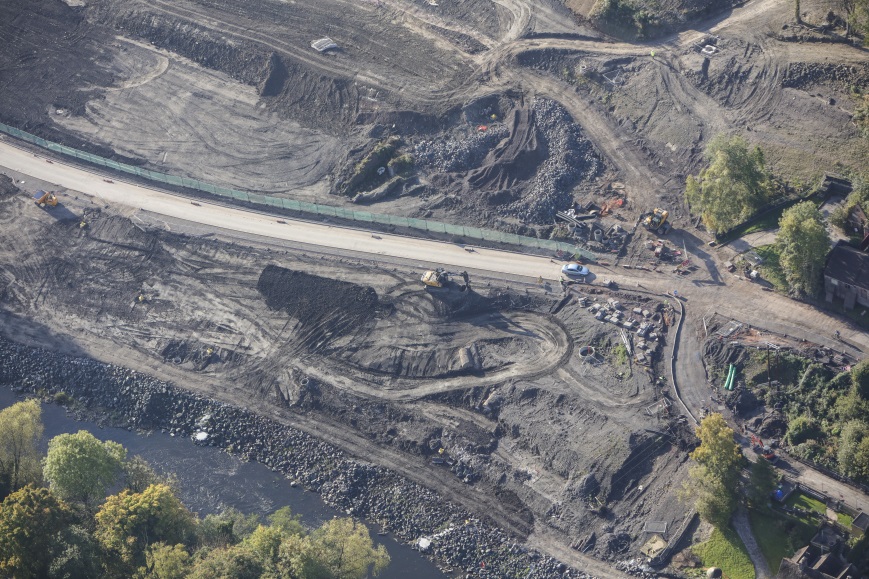
  • Aerial Photograph October 2014 Area 3 Downstreama (jpg)

    Size : 648.57 kb

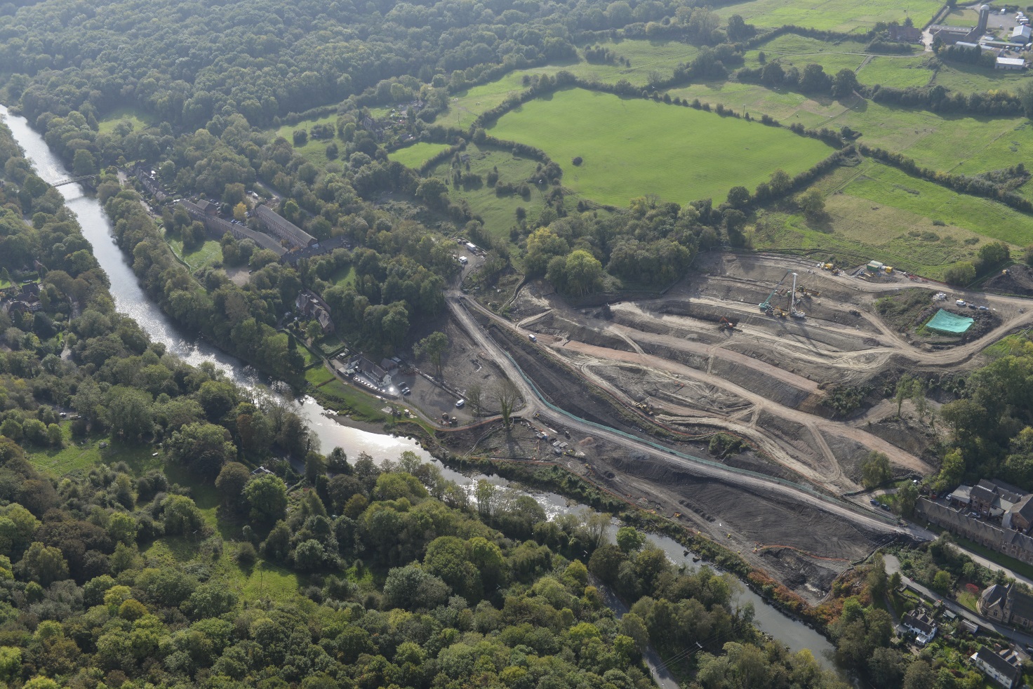
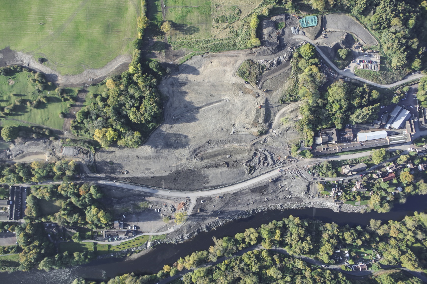
  • Aerial Photograph October 2014 Area 9 Upstream (jpg)

    Size : 13762.99 kb

  • Aerial Photograph December 2014A (jpg)

    Size : 314.43 kb

  • Feburary 2015 1A (jpg)

    Size : 161.11 kb

  • Feburary 2015 2A (jpg)

    Size : 632 kb

  • June 2015A (jpg)

    Size : 693.71 kb

  • October 2015 1A (jpg)

    Size : 923.54 kb

  • October 2015 2A (jpg)

    Size : 273.96 kb

  • October 2015 3A (jpg)

    Size : 281.92 kb

  • Flood protection funding for undefended properties in Ironbridge Gorge
  • Ironbridge Gorge Geomorphological Mapping Report appendices
  • Jackfield stabilisation project
  • Jackfield stabilisation project aerial photographs
  • Land instability
  • Land Instability in Ironbridge Gorge
  • Land quality
  • Mineshafts, adits and shallow mining
  • Nature of the works being carried out in Jackfield
  • Ordinary Watercourse Regulation
  • Strine Internal Drainage Board (SIDB)
  • Strine Internal Drainage Board (SIDB) Downloads
  • More Information
  • Print this page

Last updated : 10 September 2024

Smiley face rating button

How do you rate this page?

A to Z Sign up for emails
Accessibility statement Awards Contact Cookies Privacy Translation
©2025 Telford & Wrekin. All rights reserved.